Tollgate locations map — Dubai
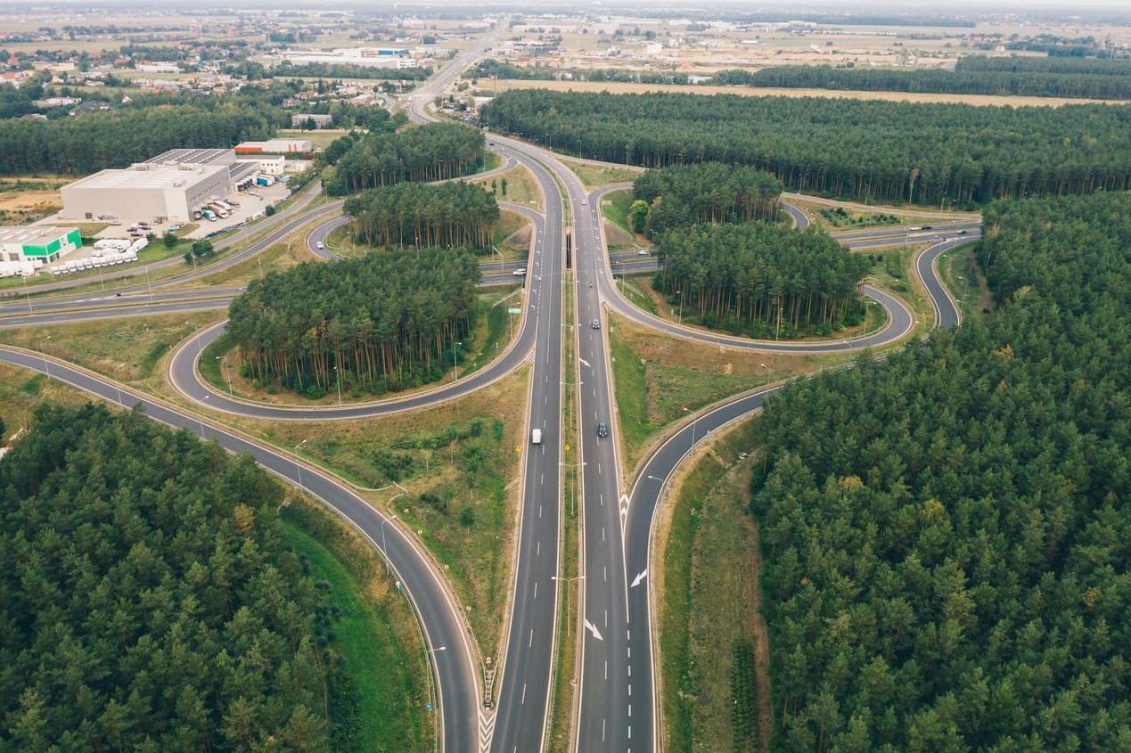
Interactive map and clustered lists for toll gates across Dubai. Use the map to plan routes and see coordinates, active hours, and tips for tag recharge and navigation.

Overview
This page compiles known tollgate points and clusters them for easier viewing on the map. Each point includes coordinates and common approaches to avoid delays. Use the filters in the map to highlight peak hours and vehicle classes.


Interactive map
Pan, zoom and click markers for details. Use clusters to simplify busy areas.
Map filters
- Cluster mode: On / Off
- Peak hours overlay
- Vehicle classes
- Show coordinates
Zones & coordinates
Table below lists clusters, common approaches and coordinates for each tollgate location.
| Zone | Nearest junction | Coordinates | Notes |
|---|---|---|---|
| North Corridor | Al Qusais Interchange | 25.2719, 55.3591 | Peak inbound 07:00–09:30 |
| Central Ring | Deira Exchange | 25.2770, 55.3094 | High frequency of markers |
| West Link | Jebel Ali Access | 25.0522, 55.1371 | Industrial area approaches |
| Airport Corridor | DXB Access Road | 25.2497, 55.3644 | Watch lane assignments |
| Marina Stretch | Sheikh Zayed Rd exit | 25.0795, 55.1406 | Busy evenings |
Driver tools
- Printable coordinates list
- CSV export for fleet systems
- GeoJSON for mapping platforms
Quick route planner
Estimate impact of tolls on a selected route. Use the map to drop start and end markers.

FAQ & guidance
About this dataset
Collected and maintained by the Road Plans team — continuously updated for accuracy. If you notice a missing point or an outdated coordinate, report via our Contacts page.
